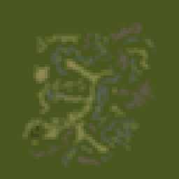
VTE Iron Triangle
3.2km x 3.2km terrain with low resolution satellite texture.

This web page is work in progress, sorry :(
This terrain was created using WrpTool back in the Operation Flashpoint days.
Terrain Specifications
Heightmap grid size: 64 x 64
Cell size: 50m
Satellite texture resolution: 1024 x 1024 pixels
Satellite surface mask size: 512 x 512 pixels
Texture layer size: 50m x 50m
Back to ArmA 3 VTE Terrain's page.