VTE Noc Doc
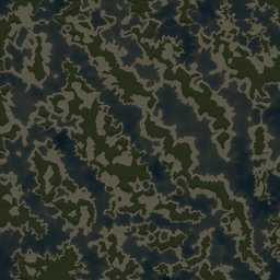
40km x 40km terrain with high resolution satellite texture.

This web page is work in progress, sorry :(
Noc Doc (venom). 2020 L3DT generated heightmap + satellite texture/mask, compiled in terrain builder. This is a native ArmA 3 terrain.
This is a swamp / river wet lowlands terrain, kind of like Ebud's Rung Sat Special Zone (RSSZ).
Heightmap elevations min: -390.11m, max 684.16m, average -42.86m, range 1074m, above sea level 38.57%.
Terrain Specifications
Heightmap grid size: 4096 x 4096
Cell size: 10m
Satellite texture resolution: 40,960 x 40,960 pixels
Satellite surface mask size: 512 x 512 pixels
Texture layer size: 40m x 40m
Back to ArmA 3 VTE Terrain's page.